
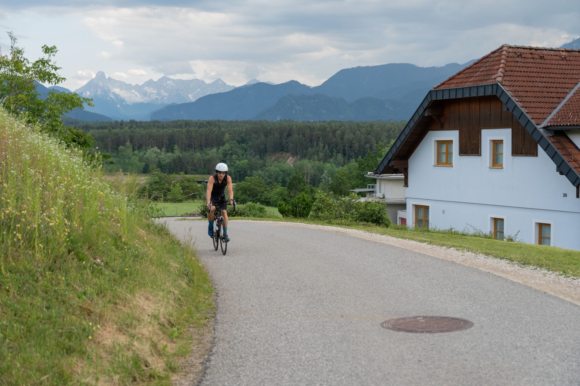
The Dandenong Ranges is one of Victoria's most rewarding cycling destinations, sitting less than an hour from Melbourne's eastern suburbs yet feeling worlds away from city traffic. Fern gullies, mountain ash canopy, and quiet back roads make the ranges genuinely beautiful to ride through, and the growing network of shared paths and sealed back lanes means cyclists of almost any ability can find a route worth returning to.
The Lilydale to Warburton Rail Trail
At 40 kilometres one way, the Lilydale to Warburton Rail Trail is the backbone of cycling in this region. It follows a disused railway corridor through Coldstream, Seville, and Launching Place before finishing in Warburton. The trail is sealed for most of its length, mostly flat through the valley floor, and accessible for families with young children or riders on hybrid bikes. The gentle gradient makes it possible to ride one direction and catch a lift back without feeling like you've cut the day short.
Yering, Woori Yallock, and Launching Place each have cafes and bakeries worth stopping at. The trail passes through farmland, orchards, and patches of native bush, so the scenery changes noticeably across the 40 kilometres. Allow three to four hours for the full run without rushing.
Belgrave to Menzies Creek: the heritage loop
Starting from Belgrave gives riders immediate access to the hills. A popular local loop heads south through Menzies Creek and into the Sherbrooke Forest fire roads before looping back via Clematis and Emerald. It's approximately 22 kilometres and climbs around 400 metres in total. The surface is mixed: sealed roads and compacted gravel fire trails, so a gravel or mountain bike handles it more comfortably than a road bike.
The route passes through some of the tallest mountain ash stands in the Dandenong Ranges, with sections of road where the canopy closes completely overhead. Menzies Creek township is small but has a bakery that opens on weekends. Belgrave itself is the natural start and finish point, and after a ride it's well worth exploring the cafes and artisan shops in Belgrave that line the main street.
Monbulk Road climb: for riders who want a challenge
Monbulk Road, climbing from Belgrave toward Monbulk, is the local benchmark for anyone who wants genuine elevation. The road rises around 300 metres over roughly 8 kilometres, with consistent gradient and little shoulder on sections near the summit. It's a road best ridden early on weekday mornings when traffic is light. The descent back toward Belgrave is fast and open, so reliable brakes are non-negotiable.
Serious road cyclists use this climb as a training loop, sometimes continuing through Monbulk township and dropping back via Emerald or the Gembrook corridor for a 60-kilometre day. Monbulk has a small collection of shops and a pub that does a decent counter meal.
Gembrook and the upper ranges
Gembrook sits at the far eastern edge of the ranges and is the terminus of the Puffing Billy railway, which runs from Belgrave. Cyclists who want a point-to-point adventure can ride from Belgrave to Gembrook via back roads through Emerald and Cockatoo, covering around 35 kilometres with significant climbing. It's a full day out and not suitable for beginners.
The reward is real. Gembrook township is quiet and unhurried, with a small heritage feel and views back across the valley on clear days. The pub serves lunch. Riding back is optional: Puffing Billy carries bikes on its heritage carriages on certain services, which turns a one-way ride into a complete experience rather than a slog back on tired legs.
What to know before you ride
A few practical points matter in the ranges. Temperatures in the higher elevations can be 4 to 6 degrees cooler than the city, so a windproof layer is worth carrying even on warm days. The fire trail sections inside state forest are closed on days of Total Fire Ban, which restricts options significantly during summer. Always check the Forest Fire Management Victoria site before heading into any trail network.
- Water: carry at least 1.5 litres for any ride over 20 kilometres. Refill points are limited on fire trails.
- Mobile coverage: patchy in the deeper valleys and forest sections. Download an offline map before leaving.
- Bikes for hire: a small number of hire options operate out of Belgrave and Lilydale, but availability is limited. Booking ahead is wise on weekends.
Combining cycling with local stops
One of the best things about cycling in the ranges is the density of worthwhile stops within a short detour. The local markets near Belgrave run regularly on weekends and are within easy reach of several riding routes. Artisan produce, handmade goods, and vintage wares are common finds, which makes a market stop feel like a natural extension of a morning ride rather than an afterthought.
Cafes in Emerald, Monbulk, and Olinda cater well to cyclists without any fuss about bikes propped outside. If the weekend itinerary allows it, pairing a morning ride with an afternoon walk through one of the fern gully trails gives a full picture of what this part of Victoria does better than almost anywhere else near a capital city.
Getting there without a car
Belgrave Station is the end of the Belgrave train line from Melbourne's CBD, taking around 55 minutes. Bikes travel free on metropolitan trains outside peak hours, which makes a car-free cycling trip completely practical. Arriving at Belgrave by train and starting a ride directly from the station removes any parking pressure and means riders don't need to drive back if they're tired at the end of the day.
The train option also means two people can share one car less easily justified trip, or groups can come from different parts of Melbourne and meet at the station platform. It's a straightforward arrangement that more cyclists in Victoria's east are using as the ranges' reputation as a cycling destination continues to grow.